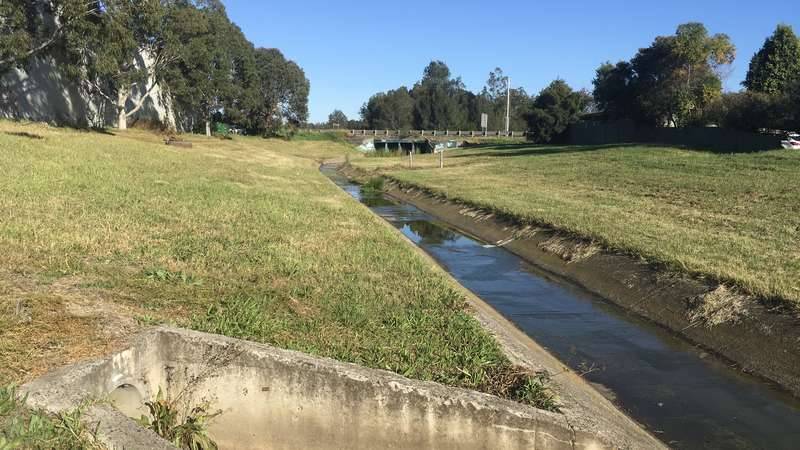
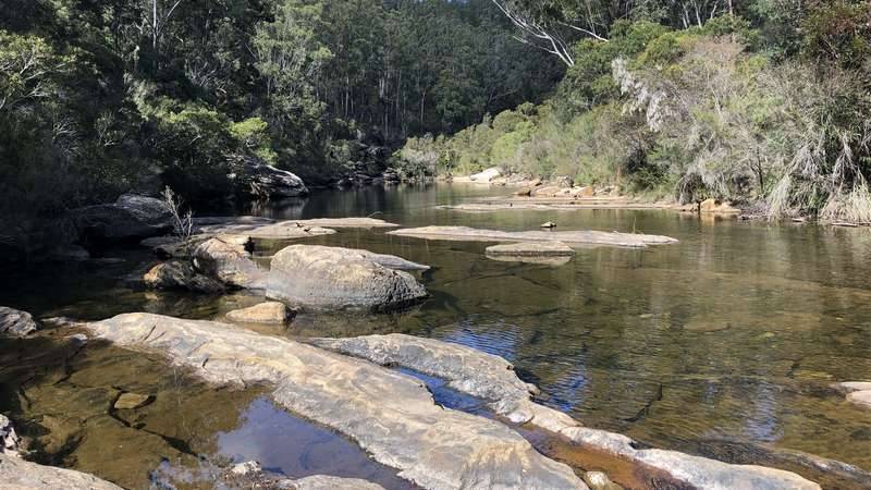
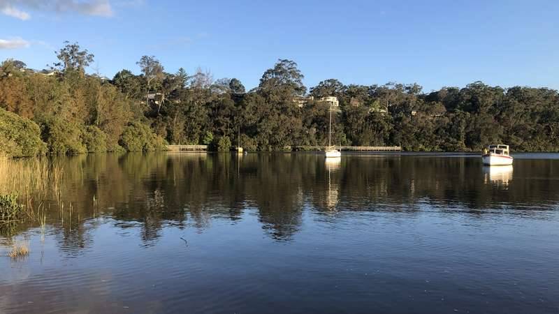
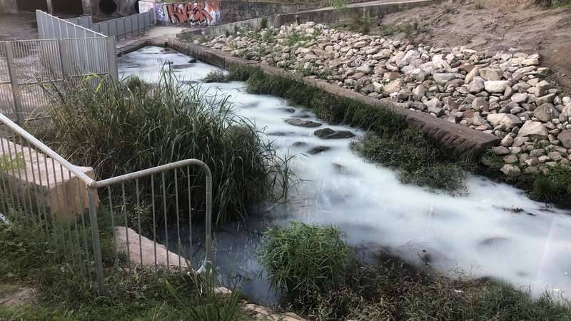
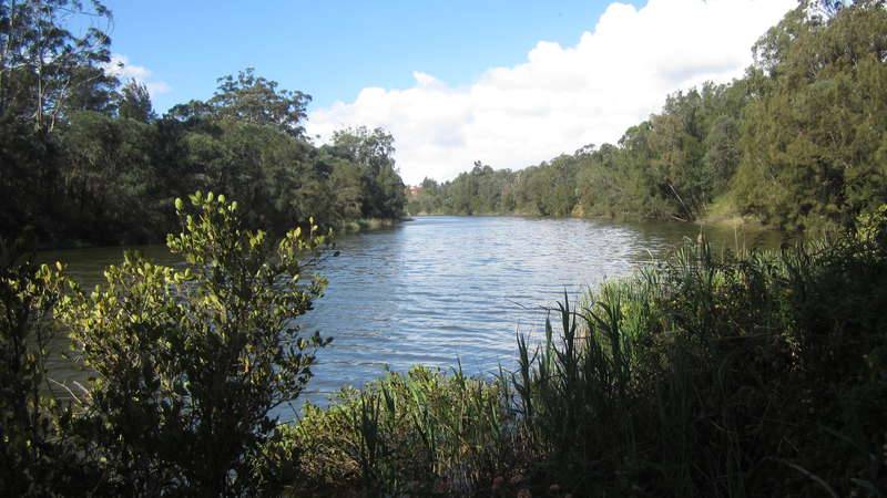
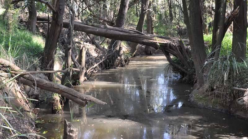
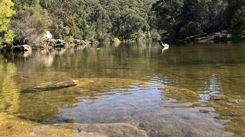
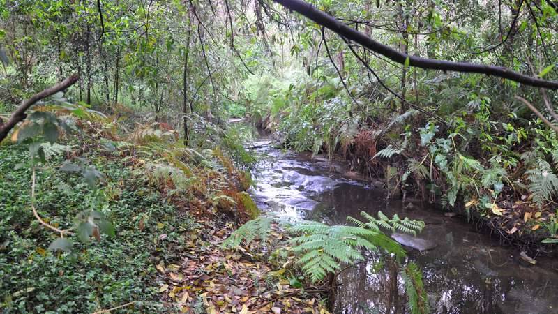
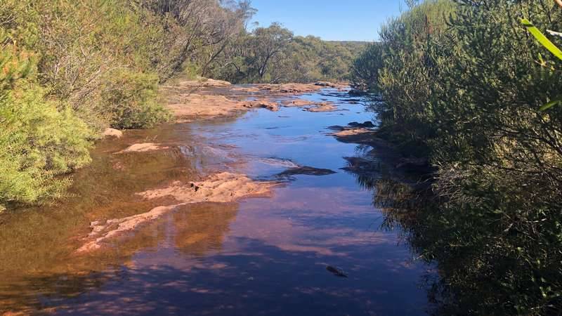
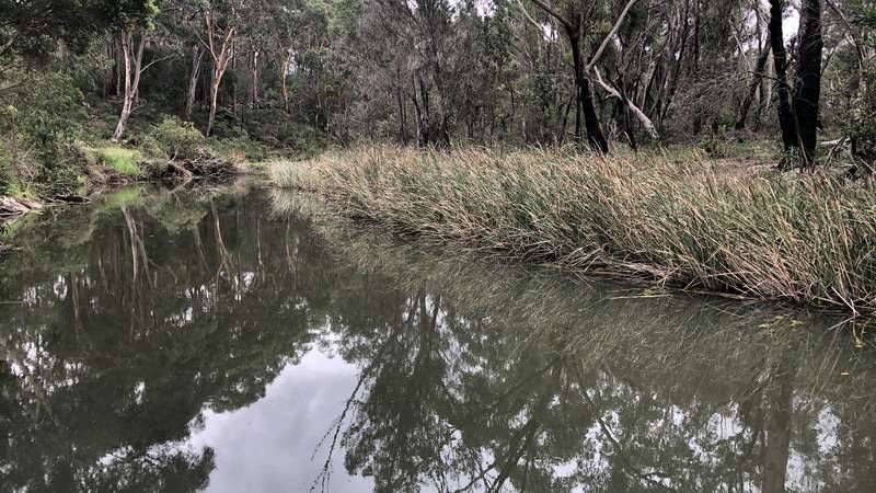
River Health grades provide an easy to understand indication of the relative environmental health of waterways across the Georges River catchment. The grades are useful for highlighting the effects of surrounding land uses on waterways in the Georges River subcatchment.
River health indicators are assessed against environmental guidelines allowing the award of a grade between A+ and F-. A+ is an excellent grade, A to B+ is a good grade, B to C- is a fair grade, and D+ to F- is a poor grade.
Grades in the freshwater tributaries are determined by assessing the grade for each of three main indicators: riparian vegetation, water quality and freshwater macroinvertebrates. Grades in the estuary assess water quality only.
Riparian vegetation
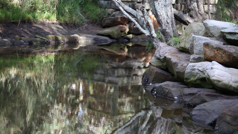
Riparian vegetation are plants living along the edges of waterways. They contribute to maintaining the condition of waterways by stabilising banks with roots, dropping leaves and wood that act as important habitat for native animals, nutrient processing as they grow, regulation of temperature via canopy shade and filtration of pollutants that may otherwise enter waterways in overland flow.
Water quality
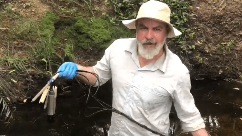
All aquatic plants and animals have specific water quality requirements. They will not survive in water where depleted amounts of desirable materials or elevated amounts of undesirable materials are outside of their tolerance limits. River Health monitors water quality indicators in the main channel, tributaries and estuary of the Georges River catchment throughout the year. Determining which water quality indicators are depleted and elevated at different locations provides valuable information about effects of other land uses on waterways across the Georges River catchment.
Freshwater macroinvertebrates
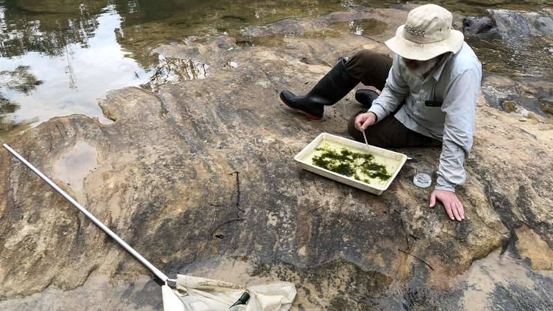
Macroinvertebrates are small animals without backbones, such as worms, snails and insects. They have diverse habits and life histories. Organisms that live in freshwater streams vary in their sensitivities to changes in water quality and habitat. River health surveys macroinvertebrates in spring and autumn. Determining which macroinvertebrates can and can’t live at particular locations provides valuable information about freshwater health across the Georges River catchment.
Summary of river health grades
The River Health grades reflect that the overall State of the Georges River is 'Fair' in freshwater tributaries, but 'Good' in the estuary. Following is a summary of 2019/20 river health grades in each Local Government Area along the Georges River. For a detailed map indicating river health grades in each subcatchment, see the State of the Georges River 2020.
Bayside
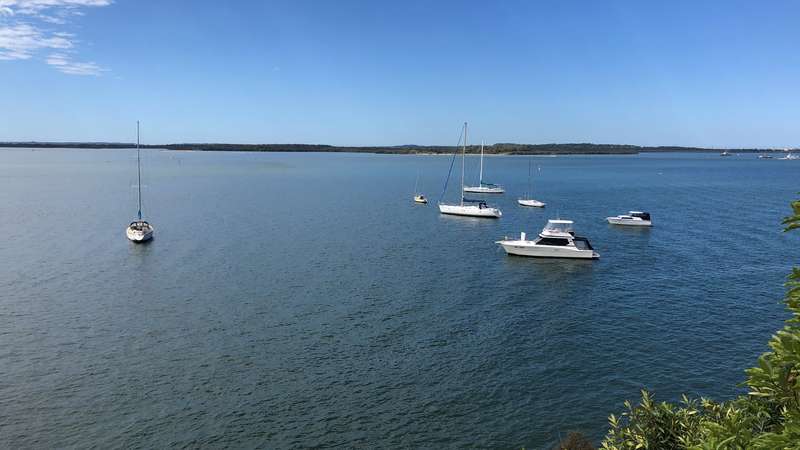
In the Bayside Local Government Area (LGA), the waterways that are monitored are all estuarine. The water quality at the Georges River mouth is consistently 'Excellent', as it is well flushed by tidal water movements. There is less tidal flushing in the narrower Tonbridge Creek and Bado-Berong Creek ('Scott Park saltmarsh'), but those creeks still had 'Good' water quality. For a detailed map indicating river health grades in this area, see State of the Georges River 2020. Go to Bayside Council's website for further information about Bayside waterways.
Campbelltown
In the Campbelltown LGA, the state of the creeks flowing through the highly urbanised Bunbury Curran subcatchment was 'Poor', as for most other urbanised creeks. This contrasted with the 'Good' or 'Excellent' state of sites surrounded by forest along the main channel of the Georges River and in O'Hares Creek. For a detailed map showing river health grades in this area, see State of the Georges River 2020. See Campbelltown City Council's website for more information about waterways in the Campbelltown LGA.
Canterbury-Bankstown
In the Canterbury-Bankstown LGA, the state of Little Salt Pan Creek was 'Poor', as for most other creeks flowing through urban landscapes. Fortunately, the water quality in the estuary was in a better state, either 'Good' or 'Excellent' across the main channel estuary that delineates the southern border of the LGA. For a detailed map showing river health grades in this area, see State of the Georges River 2020. See City of Canterbury Bankstown's website for more information about waterways in the Canterbury-Bankstown LGA.
Fairfield
In the Fairfield LGA, the state of sites along Orphan School Creek and Prospect Creek was 'Poor', as for most other creeks flowing through urban landscapes. Fortunately, the water quality in the upper estuary was 'Good'. For a detailed map showing river health grades in this area, see State of the Georges River 2020. See Fairfield City Council's website for more information about waterways in the Fairfield LGA.
Georges River
In the Georges River LGA, the state of the creek flowing through Myles Dunphy Reserve is 'Fair', reflecting that the reserve provides some buffering of surrounding urbanisation. The state of Dairy Creek and Poulton Creek were 'Poor', as for most creeks that flow through urban landscapes. Fortunately, the water quality in the estuary was 'Good'. For a detailed map showing river health grades in this area, see State of the Georges River 2020. See Georges River Council's website for more information about waterways in the Georges River LGA.
Liverpool
In the Liverpool LGA, the state of the freshwater tributaries in the Cabramatta Creek subcatchment was either 'Fair' or 'Poor', reflecting the impacts of surrounding urbanisation. Fortunately, the water quality in the upper estuary was 'Good'. For a detailed map showing river health grades in this area, see State of the Georges River 2020. See Liverpool City Council's website for more information about waterways in the Liverpool LGA.
Sutherland
In the Sutherland LGA, both freshwater and estuarine sites were monitored. There is much intact forest in the Woronora River and Mill Creek subcatchments, reflected in the state of those subcatchments being 'Excellent' and 'Good', respectively. However, Carina Creek is in a more urbanised area, reflected in its state being 'Fair'. At both estuarine sites, the water quality was 'Good'. For a detailed map showing river health grades in this area, see State of the Georges River 2020. See Sutherland Shire Council's website for more information about waterways in the LGA.
Wollondilly
In the Wollondilly LGA, the state of sites in the O'Hares Creek subcatchment was 'Excellent', reflecting that the subcatchment is forested and has minimal development. However, in the upper Georges River there is some impact from the coal mining operations, with the site at Kennedy Grove being 'Fair'. For a detailed map showing river health grades in this area, see State of the Georges River 2020. See Wollondilly Shire Council's website for more information about waterways in the Wollondilly LGA.

