Research partnership and collaboration with universities
Georges Riverkeeper’s partnership with universities is helping to improve our knowledge about the effects of urbanisation on complex aquatic ecosystems such as the Georges River and determine best practice in mitigating the impacts.
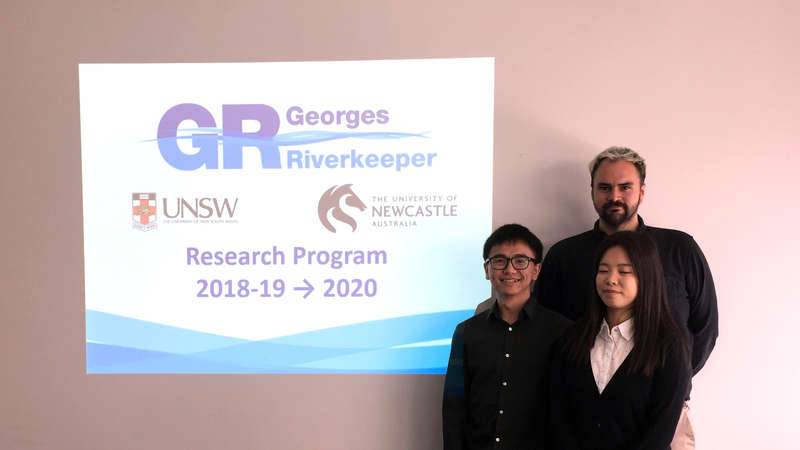
Three University of NSW students doing Honours projects in 2019, with support from a Georges Riverkeeper stipend, recently completed their projects and presented a summary of their work at a meeting for Member Councils.
Student projects included:
- Mapping and analyses of current Water Sensitive Urban Design (WSUD) assets across the Georges River catchment. The project provided the first mapping of all WSUD assets at the catchment scale and allowed assessment of which factors are most influencing the position of WSUD assets. This also facilitates determination of those factors that do not currently influence the positioning of WSUD, but would be useful for informing future WSUD positioning.
- Modelling to determine optimal positioning of WSUD assets across the catchment to achieve certain outcomes, plus preliminary cost-benefit analyses for WSUD assets. This work highlighted that more work on the benefits of WSUD is required, including valuing economic benefits (e.g. increased property values near WSUD), as well as social benefits (e.g. willingness to pay for WSUD for provision of shade).
- Exploration about changing social attitudes to the Georges River, reflected in published historic accounts, plus a case study of current engagement of the community with WSUD. This work demonstrated that attitudes to Georges River have changed over time and is a reminder that management initiatives should be attuned to prevailing community attitudes.
Georges Riverkeeper will build on the partnership with UNSW in 2020 and will encourage member Councils to drive the development of research questions that will be explored by students.
Georges Riverkeeper’s partnership with University of Newcastle, which began in 2019, will also continue in 2020.
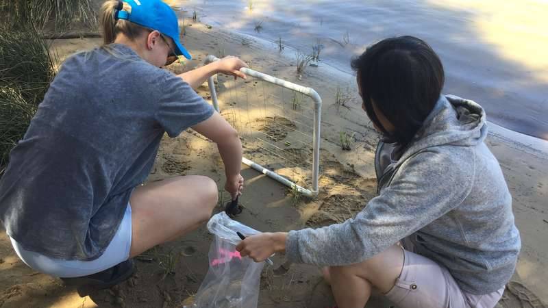
A University of Newcastle Honours student is monitoring the success of the replanting of the vitally important saltmarsh grass, Sporobolus virginicus, along the Georges River. The student is surveying the six sites along the river where Sporobolus has recently been replanted. She will be assessing the success of the replanting over the next year, measuring how the plants establish and grow. She will also be looking at the physio-chemical factors that affect growth, for example, what kind of soil structure and macro nutrients the plants need. This research will help us to predict how to plant out in the future and select sites that will maximise Sporobolus growth. Sporobolus virginicus is an intertidal grass that is a major source of nutrition at the base of the food web linked to those fish that are targeted by anglers. The $40,000 project to replant Sporobolus along the river is a joint partnership between Conservation Volunteers Australia and Georges Riverkeeper, with support of Bayside Council, City of Canterbury Bankstown, Fairfield City Council, Georges River Council, Liverpool City Council, and Sutherland Shire Council. The planting project is funded by the NSW DPI Fisheries’ Recreational Fishing Trust’s “Habitat Action Grant Program”.
Also, Georges Riverkeeper has commenced a new research project with the University of Newcastle to explore the development of indicators of the long-term condition of the Georges River estuary. Whilst the water quality parameters that we currently measure in the estuary provide a snapshot of the short-term condition of the estuary, it would be useful to also develop a metric that can inform us of the longer-term estuary condition. In the future, such a metric will facilitate determining whether there is a long-term trajectory of improving or declining estuary condition, which can be used to inform ongoing adaptive management.