Spatial analysis of macrophytes in the Georges River
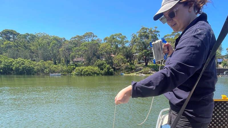
Over the past few months, Georges Riverkeeper has been working with Advanced Science students from Macquarie University for group projects with ‘real world’ implications. Three projects were undertaken, including a spatial analysis of macrophytes in the Georges River.
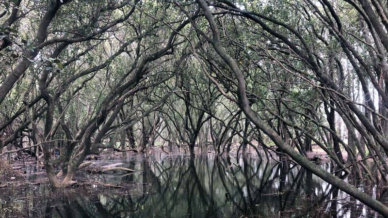
In this group, students investigated three macrophyte (mangrove, saltmarsh and seagrass) mapping layers produced in 2000, 2009 and 2020 for the entire river system. Using their GIS skills students calculated a 442.5 ha, or 28.8% reduction in total macrophyte area, with a 18.3% reduction of saltmarsh coverage, a 54.7% decline in seagrass coverage and a 1% decline in mangrove coverage. While some of these changes could be the attributed to increased mapping resolution, it is still alarming to view the scale of decline of these important communities. Students then applied a bathtub model to investigate possible wetland inundation due to future sea level rise. The team found that 20.1% (155.9 ha) of existing macrophytes may be at risk of inundation by 2070 in a 1.5°C warming scenario.